The Meteorological Administration has issued a heavy rain alert due to the influence of the cloud system in South China. Today, there is a chance of localized heavy rain in the mountainous areas of Nantou and Hualien, and precautions against landslides and falling rocks are advised. Over the entire island, there is a higher cloud cover, with sporadic brief rain in the north and mostly cloudy to clear skies in the south. Today's low temperatures in the north are 16-17 degrees, in the central region 17-18 degrees, and in the south 19-21 degrees; daytime high temperatures in the northern region are 21-25 degrees, in the central and southern regions 26-28 degrees, showing a noticeable temperature difference between the north and south. The weather is expected to improve across the country on Tuesday and Wednesday, but a short wave passing through on Wednesday night and Thursday may cause a slight drop in temperatures. Please continue to pay attention to weather changes and flight information.
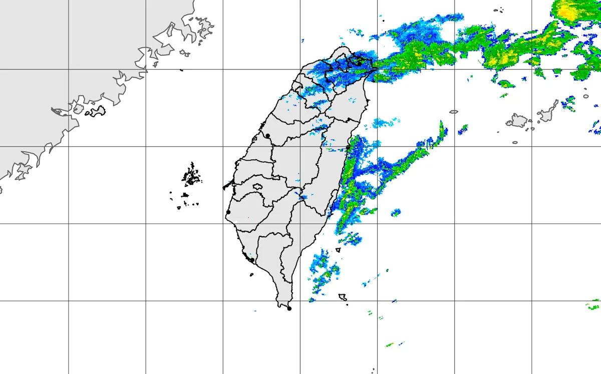
Under the influence of the South China cloud system, there may be localized heavy rain in the mountainous areas of Nantou and Hualien. (Image: Meteorological Agency website)
The Meteorological Agency has issued a heavy rain special report, predicting an increased risk of localized heavy rain in Nantou and Hualien mountainous areas today (6th), advising all sectors to be aware of the dangers of landslides and falling rocks.
The Meteorological Agency pointed out that today there will be localized brief showers in the western mountainous areas, eastern regions, and Hengchun Peninsula, while the northern region will be mostly cloudy with sporadic rain. Central areas will still experience rain from early morning until the morning, while other areas will be partly cloudy to sunny.
Regarding temperature, it will feel slightly cool in the northern and northeastern regions in the early morning, with low temperatures around 16 to 17 degrees; the low temperatures in central regions and Hualien are around 17 to 18 degrees, while the southern and Taitung regions will have low temperatures between 19 to 21 degrees.
During the day, the northern and eastern parts will have more cloud cover, with high temperatures ranging from 21 to 25 degrees; the predicted high temperatures for central and southern regions are between 26 to 28 degrees, but there is a larger temperature difference between north and south, reminding travelers to pay attention to temperature changes.
As for the weather in the outlying islands, Penghu will be mostly sunny with some clouds, with temperatures between 19 to 24 degrees; Kinmen will be cloudy to sunny, with temperatures of 17 to 25 degrees; Matsu's temperature range will be between 15 to 20 degrees, mainly consisting of sunny and partly cloudy weather.
An associate professor from the Department of Atmospheric Sciences at National Central University stated that today's weather to tomorrow will see the South China cloud system weaken as it moves eastward, with more clouds remaining across various regions, and the range of rainfall gradually shrinking, but there may still be localized brief showers in mountainous areas, as well as in the northern and eastern parts.
Temperatures will gradually rise, with pleasant weather in the northern regions during the day, while the southern regions will feel slightly warm, with cooler temperatures in the early morning and evening.
It is noted that the weather on Tuesday and Wednesday will improve during the day, with a brief lull expected and temperatures rising; there may occasionally be a chance of localized brief showers in the mountainous areas.
On Wednesday night and Thursday, the first wave of short waves will pass, making the climate unstable and slightly lowering temperatures; as the short wave leaves on Friday, the weather will improve, and temperatures will rise.
It is expected that a second wave of short waves will pass on Saturday and next Sunday, with weather still unstable and temperatures slightly dropping; after the short waves move away next Monday and Tuesday, the weather will improve again, and temperatures will rise.
When short waves pass, they may be accompanied by convective precipitation, thunderstorms, strong winds, and intense downpours; the timing and intensity of the short waves will still need continuous observation and adjustment.
The Meteorological Agency reminds that from this afternoon to evening, in Taichung, Changhua coastal areas, the Hengchun Peninsula, as well as Penghu, Green Island, and Lanyu, localized wind force may reach level 6 or above or gusts above level 8, please remain vigilant; additionally, Matsu will be affected by localized low clouds or fog, which may reduce visibility, so be sure to pay attention to flight information.