


The rain is easing! This week will see alternating sunny and rainy weather, and there may be "2 short waves" bringing severe weather.
讀後心得
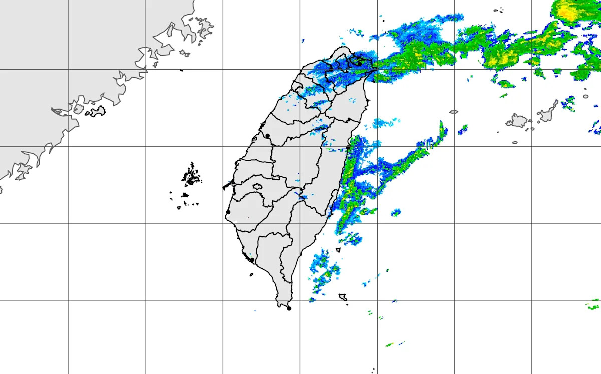
The meteorological department has issued a heavy rain warning, stating that the cloud system from southern China is affecting the area. Today, there is a probability of localized heavy rain in the mountainous regions of Nantou and Hualien, and caution is advised for landslides and falling rocks. The western mountainous areas and eastern regions may experience brief rainfall, while the north will see more clouds with sporadic rain. Central Taiwan will also have rainfall from morning until noon, while other regions will be mostly cloudy to sunny. In terms of temperature, the northern and northeastern areas are cool in the morning, with low temperatures around 16 to 17 degrees Celsius; central Taiwan and Hualien are around 17 to 18 degrees, and the south is about 19 to 21 degrees. During the day, temperatures will range from approximately 21 to 25 degrees in the north and eastern areas, while central and southern regions will see temperatures of 26 to 28 degrees, showing a significant temperature difference between the north and south. On the offshore islands, temperatures vary in Penghu, Kinmen, and Matsu, where the weather will mainly be partly cloudy with sunny intervals. Wu Derong stated that the weather will gradually improve in the coming days, but strong rain and thunderstorms may occur when short waves pass, and continuous monitoring is necessary. The meteorological department also reminds that this afternoon and evening, certain areas may experience strong winds and low clouds, as well as fog, so it is important to pay attention to flight information.
The South China cloud system brings impacts, with local heavy rain possible in the Nantou and Hualien mountainous areas. The Central Weather Bureau has issued heavy rain alerts, reminding the public to be cautious of landslides and falling rocks in mountainous areas. According to the bureau's forecast, today the western mountainous areas, eastern regions, and Hengchun Peninsula will have localized brief rain, while the northern areas will be cloudier with possible sporadic brief rain. The central region may also experience light rain in the morning to noon, while other areas will mainly be cloudy or sunny.
In terms of temperature, the northern and northeastern regions will be slightly cooler in the morning, dropping to about 16 to 17 degrees; the central region and Hualien will range from 17 to 18 degrees, while the southern and Taitung areas will have a low temperature between 19 and 21 degrees. During the day, the northern and eastern regions will have more cloudiness, with high temperatures ranging from 21 to 25 degrees, central and southern regions will see highs around 26 to 28 degrees, showing a significant temperature difference between north and south, so everyone should pay attention to temperature changes when going out.
The weather forecast for the outlying islands is as follows: Penghu will be mostly sunny and cloudy, with temperatures between 19 and 24 degrees; Kinmen will be partly cloudy and sunny, with temperatures ranging from 17 to 25 degrees; Matsu will be mostly sunny and cloudy, with temperatures between 15 and 20 degrees.
According to meteorological experts' analysis, the South China cloud system will move eastward and gradually weaken from today to tomorrow. The cloud cover in various regions will still be relatively thick, and the area of rainfall is expected to shrink. There will still be a chance of localized brief rain in mountainous areas and northern and eastern parts, and temperatures are forecasted to gradually rise.
Wu Derong reminds that the weather on Tuesday and Wednesday during the day will improve, with occasional short dry periods and a rise in temperature; while there may be localized light brief rain in the mountainous areas. Following this, a first wave of shortwave weather from Wednesday night to Thursday will bring unstable conditions, with a slight drop in temperature; and after the shortwave on Friday, the weather will improve again, with temperatures rising. As for Saturday and next Sunday, the second wave of shortwaves will also bring unstable weather, and temperatures will drop again, but on the following Monday and Tuesday after the shortwave, the weather will improve and temperatures will rise.
The Central Weather Bureau especially reminds that this afternoon until evening, Taichung, Changhua coastal areas, Hengchun Peninsula, as well as Penghu, Green Island, and Orchid Island regions may experience localized average wind speeds reaching level 6 or gusts exceeding level 8, so special attention is needed. Additionally, starting today, low clouds or fog may occur in the Matsu region, affecting visibility, and it is advised to pay attention to flight information.